


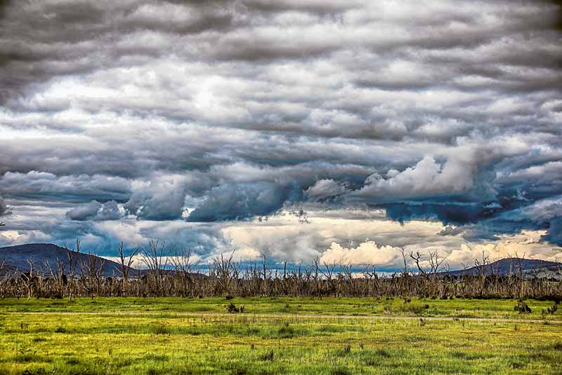
THIS crazy Spring weather is likely to continue until the end of the year. The Bureau of Meteorology last week declared La Niña has developed in the Pacific Ocean, upgrading from a La Niña alert status to an active event.
This means recent changes in ocean temperatures and weather patterns over the Pacific are now likely to remain until at least the end of the year.
La Niña is the cool phase of the El Niño Southern Oscillation. It is associated with cooler than average sea surface temperatures in the central and eastern tropical Pacific Ocean. La Niña events often form in Autumn or Winter, then decay in late Summer. The greatest impact normally occurs during the Spring and early Summer period and normally last for around a year, however they can be shorter, or much longer.
The last La Niña event occurred from 2010-2012 and resulted in one of Australia’s wettest two-year periods on record. Widespread flooding occurred in many parts of Australia associated with the record rainfalls giving rise to good soil moisture for the next year.
Emergency services and farmers are on alert for the possibility of flooding and are urged to be prepared.